
On Sale: GamesAssetsToolsTabletopComics
Indie game storeFree gamesFun gamesHorror games
Game developmentAssetsComics
SalesBundles
Jobs
TagsGame Engines
(+1)

Yea, the main problem I ran into was that something like this is a triangle: 
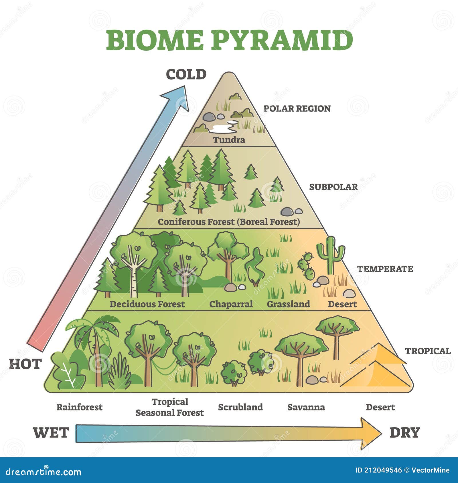
The table attempts to do a "wiggly C-shape" from Tundra down to Desert and roughly map it to the same environments that D&D 5e uses.

Your grid idea would work well if it was a "Biome Square". And maybe one could expand out the top of the triangle with more options to make it more square-like. 

(1 edit)

IMHO if you add the "Trundra" level below polar, you could use triangular coordinates:

1-6 = How hot is the area. Going top to bottom. (6 = HOT)

1-6 = How wet is the area. (6 = Very WET)

To find the exact terrain use WET - COLD minimum 1, and use it as some kind of vegetation index.

This make more likely to have less vegetation if DRY or COLD climated and slowly remove options as you move toward the poles.

To "navigate" it, you only need 1d6: 

1-2 = Same, 3 = Cold, 4 = Hot, 5 = Dry, 6 = Wet.

If you go over the normal range, make it some kind of temporary natural event, like a storm, heat wave or a precipitation.